July 13, 2013: In general, The Greatest Day Hiker Of Them All and I are in agreement that the more times you do a given walk – whether it’s a neighborhood stroll, a nearby woodsy loop or an AT section – the shorter it seems.
This section – up Floyd Mountain from Jennings Creek, back down Floyd Mountain and then some meandering through forest – has long been the exception, as we have both lamented many times that it is the longest 3.2-mile section we know.

Maybe it’s just that we hadn’t done it a sufficient number of times, as on this day it seemed finally to give in and seem a little shorter. Although a hour and 45 minutes is somewhere between 15 and 30 minutes longer than it usually takes us to walk that distance.
And the two-story Bryant Ridge Shelter is a nice destination, both for its architecture and the flow of two streams nearby.
Plus some good stuff in the logbook:
“Gotta get outta here. There’s a bear on the third floor.”
“There was a wino in here eating grapes. I told him dude, you gotta wait.”
It was also – given the record July rains – a good day for mushrooms. The Day Hiker’s paused to photograph many of them (“I’m gonna learn these one day!”) allowed me to keep up a little better than usual.
Appalachian Trail from Va. 614 to Bryant Ridge Shelter and back. 6.4 miles.
How to get there: Exit 168 from I-81 onto Va. 614 to small parking area where the AT crosses the road.
July 20, 2013: The newish parking spot at the end of Timberview Road off of Va. 419 has become our go-to starting spot for Carvins Cove hikes, at least in part because it provides a good point from which to get the climb of Brushy Mountain over with first, as you ascend The Trough and have the climbing pretty much over with, aside from the little bumps along the Brushy Mountain Trail headed north toward The Gauntlet, which takes you down on a bit longer route to the southern reach of the reservoir. The water level, to our surprise given the wet month, was a little lower than the last time we came down The Gauntlet.
The way back is the easy mile or so along the Horse Pen Trail.
Note: Just the Right Gear no longer issues Carvins Cove hall passes, as there are now self-service kiosks at the parking areas for you to pay for the privilege of walking (or biking, or horsing) in the woods.
Carvins Cove loop. About 6.5 miles.
How to get there: Va. 419 west from Salem to Dutch Oven Road just beyond the I-81 entrance point; then an immediate right onto Timberview for several miles to its end point at the parking lot.
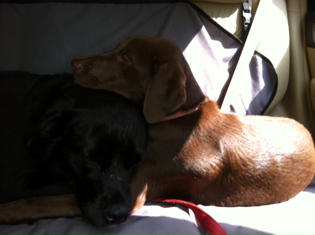
July 28, 2013: The Day Hiker rarely picks a specific hike, but with her having babysitting duties for young chocolate lab Moose and said dog’s penchant for water, she said hey, let’s walk along Brown Mountain Creek.
And so we did. Much to Moose’s perpetual delight and to (older, heavier) dog Cookie’s delight for maybe most of the way in, till she got all, “Dude, it’s water, OK? Get over it.”
Which led the two-legged hikers to a discussion of a dog’s concept of a stream, and the conclusion – at least on my part – that there simply is none, and that every view of water is, to the dog, HEY! BRAND! NEW! WATER!
At the lunch spot where in the past Gail has chucked tiny pieces of food into the still part of the stream to bring the crayfish out to play, there was no such action, as the young brown dog splashed her way around to the extent that we had to move up onto the bank from our usual lunch seating.
The small wacky dog was equally surprised with each viewing of water on the way back as well.
Appalachian Trail from U.S. 60 (Long Mountain Wayside) east of Buena Vista to stream cross point and back. 5.6 miles.
How to get there: I-81 Exit 188 east through Buena Vista and beyond to the AT crossing at the Long Mountain Wayside.