We waited for the sunnier, warmer of the two weekend days, and instead got clouds, brisk wind and a temperature of 31 when we got out of the car.
“We’re never going to be able to eat lunch, Kurt!” protested The Day Hiker, in her start-of-pretty-much-every-winter-hike beef. “I should have worn tights under my [lined, winter, hiking] pants!”

The signs of winter did abound: Sort of hoarfrost (dogfrost?) forming on Cookie’s back, and lots of pretty tall ice flowers coming up out of the crunch mud being the most immediately noticeable. Well, and the wind.
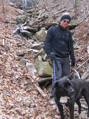
But nature reserve areas seem to share that magic attribute of their short-trail miles going along quickly, and this day was no exception, and we soon sat down for lunch near the confluence of the two small streams in the preserve. It was here that we came across the only other sets of hikers we saw–a father and daughter and a man and dog; kind of odd that with no other car in the lot upon our arrival nor departure, that perhaps the only three sets of hikers on this cold day all sort of end up at the same place at the same time.
Lunch was good and reasonably warm, with even a brief peek of sunshine once or twice.
This is a nice, easy walk, with good views west, the streams and a 500-foot elevation change each way (down first); and the rare pirate bush, which we did not seek out this day.
Trails of Poor Mountain Natural Area Preserve. 3.8 miles.
How to get there: U.S. 221 south from Roanoke to Twelve O’Clock Knob Road (Va. 694) to parking near the top of the mountain.